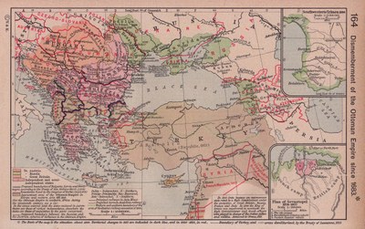
Zerteilung des Osmanischen Reiches seit 1683

William R. Shepherd: Dismemberment of the Ottoman Empire since 1683; Detailkarten: Southwestern Crimea, 1854. Plan of Sevastopol, 1854-1855. Karte aus dem Historical Atlas von William R. Shepherd, 1923. Bildquelle: Perry-Castañeda Library Map Collection. Courtesy of the University of Texas Libraries, The University of Texas at Austin, gemeinfrei.