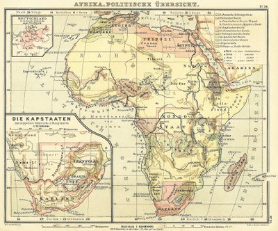
Africa: Political Overview with Inset in Map of the Cape States 1888

Afrika: Politische Übersicht mit Nebenkarte der Kap-Staaten, map no. 24, 1888, creator: E. Debes; source: E. Debes' Schul-Atlas für die Oberklassen höherer Lehranstalten, 6th ed., Leipzig 1888, Wikimedia Commons, public domain.