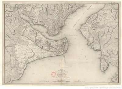
Plan de la ville de Constantinople

This map of Constantinople from 1786 shows the city and its suburbs, which stretch across the European and Asian boundaries.
Plan de la ville de Constantinople et de ses faubourgs, tant en Europe qu'en Asie, map, 1786, artist: François Kauffer / Jean-Baptiste Le Chevalier; source: Bibliothèque nationale de France, département Cartes et plans, GE C-1430 https://gallica.bnf.fr/ark:/12148/btv1b53027654c/f1.item, public domain.